The Northwest Trek – Days 3 through 5
After arising to the spectacular views of Manaslu, Mo-Mo and I set out on the road again, heading toward the town of Pisang.
 We would hike another 23 kilometers on the third day, passing through the small town of Koto, where I took the opportunity to re-up on peanut butter (my secret addiction on this trek); the larger town of Chame; and one of Nepal’s largest apple orchards, which was in full bloom, at the town of Bhratang (where I dipped apple slices into peanut butter and drank instant coffee).
We continued on to upper Pisang amid a large group of British hikers with heavily overloaded porters.
Mo-Mo was getting very tired by the end of this day and, unknown to me at the time, it would be the first symptom of the altitude sickness that would eventually prevent her from completing this trek.
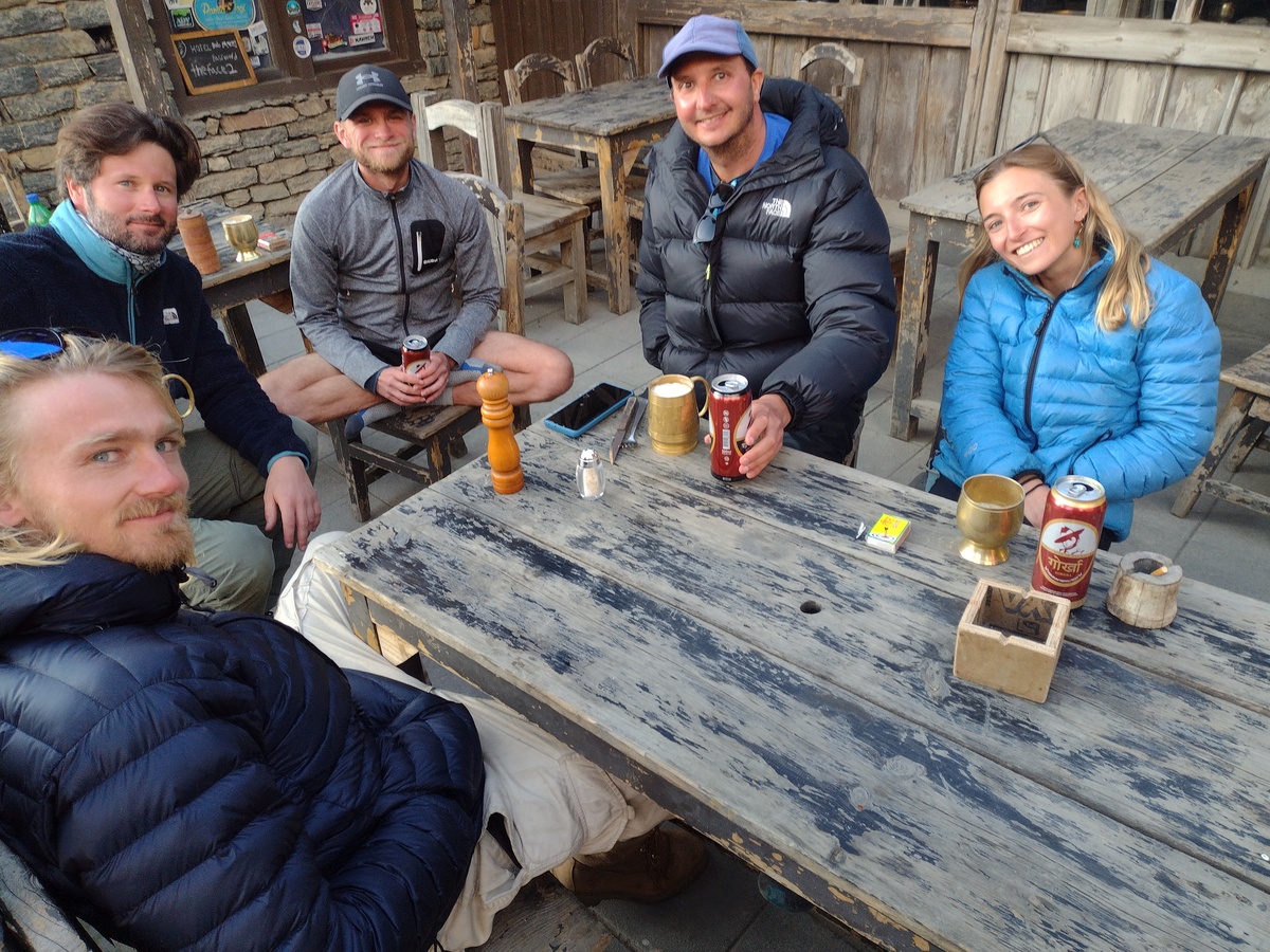
I found a very nice hotel called Norbulinga’s that boasted a fantastic view of Annapurna II and IV and was owned by a very friendly Buddhist gentleman. Shortly after we arrived, Nils from the jeep ride arrived with two other young European hikers, Christopher from Sweden and a French hiker named Theo.
Mo-Mo skipped dinner and I shared the dining hall with the three Europeans. Christopher was watching hockey highlights and I saw a recap of the Columbus Blue Jackets game, which helped me put into context for the first time the remote piece of the United States from where I hail.
The following morning, Mo-Mo was still not feeling well so she encouraged me to take the high road out of Upper Pisang, which was a more challenging off-road mountain path and she would follow the road up to Braga where we would meet for the night. I felt bad parting ways with her, but it seemed like a suitable course of action.
The first town along the way was a small place called Gyaru, where an old woman tempted me into here store with apple pies. After all, who can say no to grandma’s apple pies? She let me use the wi-fi to contact Mo-Mo and sold me on some fresh yak cheese before I left on my way toward the next town – Ngawal.
 Along the route, I encountered David and Avi again, from the first morning in Jagat. We had seen them briefly on the path prior, but I actually traveled some distance with them on Day 4 and stopped for lunch with them in Ngawal.
I also took the opportunity to hike up a flight of 750 steps toward a statue and monument to the Buddhist lama Padmasambhava, who is credited with bringing tantric Buddhism to Tibet. The monk had frequented this part of Nepal in the Eighth Century and there is a cave where he meditated somewhere near the winding path of steps that continued beyond the monuments as far as the eye could see.
I returned to the restaurant in Ngawal and ate buckwheat pancakes with David and Avi. Despite my map showing me a tempting route through a mountain village called Chulu, Avi pointed me down the road and said that would be the best way to Braga (Bhraka).
I set out alone down that road but near the bottom, I ran into Nils, Christopher and Theo. It turns out they missed the high road out of Upper Pisang and were heading toward the route I had considered through Chulu. I hesitated only briefly before taking them up on their invitation to join them on the side trek into the mountains.
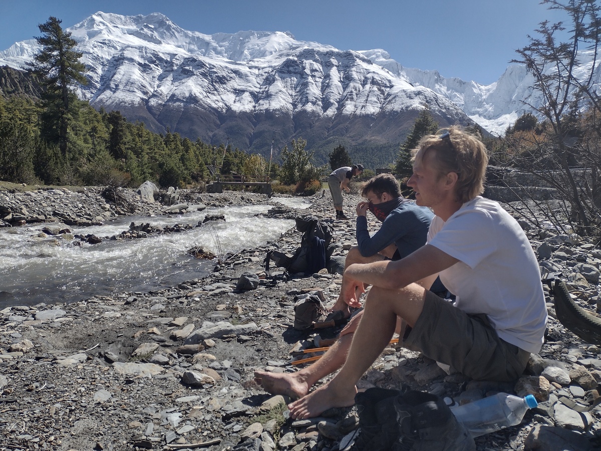 We hiked back the path fairly easily to the town of Chulu, which was on the opposite side of a small but fast-moving stream. Unfortunately, the bridge across this stream was gone and we had to cross it barefoot before relaxing along the rocky bed of the mountain waterway.
We eventually decided to move on, following the map of the trail, which took us steeply up the side of a mountain with some exquisite views of the Annapurna mountains. After the strenuous hike, we made our way across several kilometers of flat terrain before descending steeply into the town of Braga via the terrace of a 700-year-old now-abandoned ghompa, or monastery.
Once in town, I was able to contact Mo-Mo again and she was only about a kilometer from Braga on the main road. She caught up and we settled in for the night at a hotel called New Yak.
Day 5 was a scheduled rest and acclimatization day, which means that trekkers are supposed to sleep at the same altitude two days in a row to start to get used to the change in elevation. It is OK to hike some to higher elevations during the day, but the goal should be not to increase elevation significantly.
My plan for that day was to hike back to a cave where the Buddhist philosopher and poet Milarepa used to live about 4.5 kilometers off the main path. Mo-Mo was not really up to this hike; so I got up early and headed out at the crack of dawn, catching a beautiful sunrise through the mountains on the way up the nearly 1,000-meter ascent.
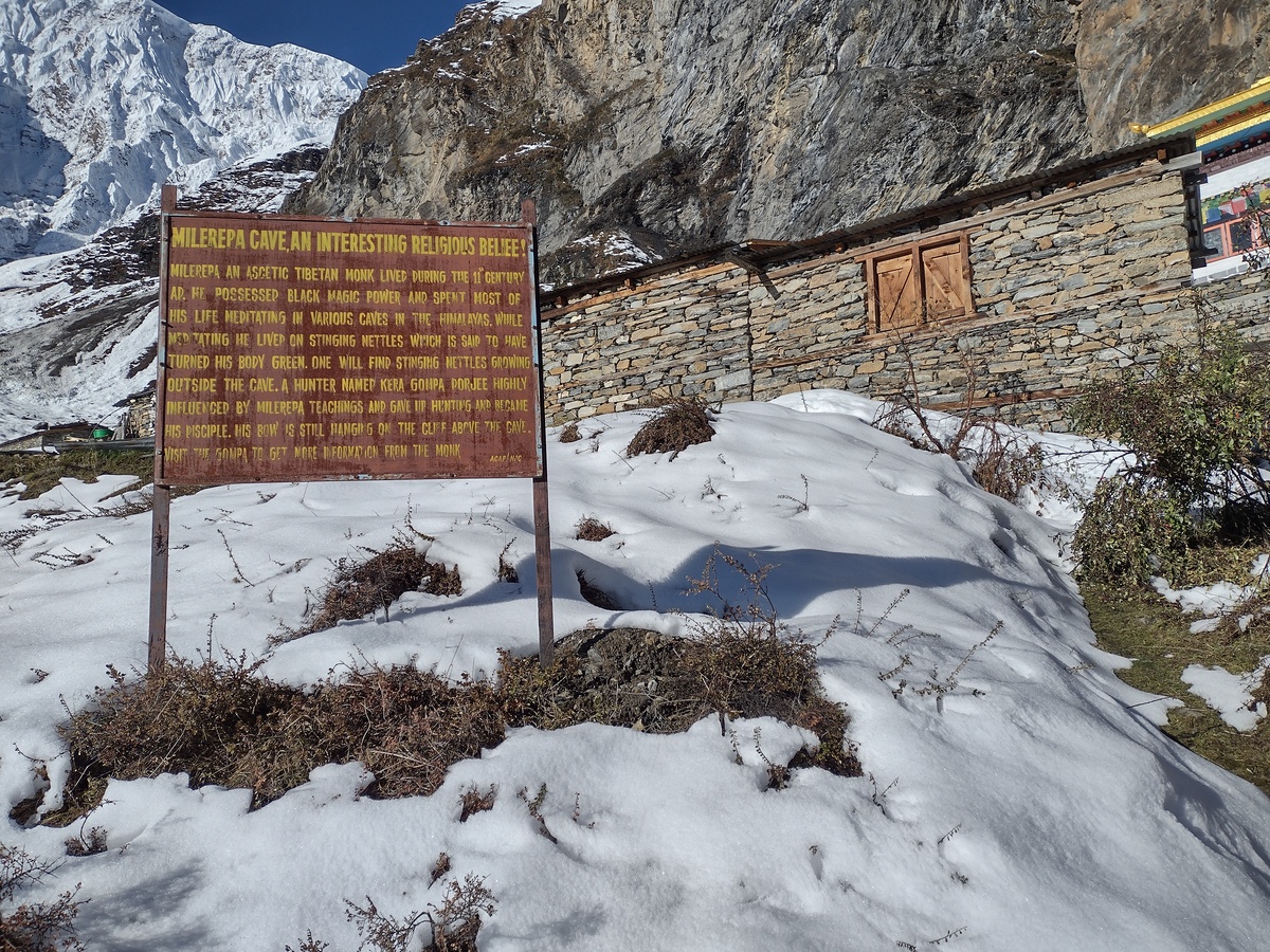 I made my way along the winding paths to a spot far back in a crevice in the mountains. By the time I reached the ghompa and shrine built in honor of Milarepa, my boots were already crunching in the snow. I wasn’t sure where the cave was but I could see prayer flags leading back further into the mountain’s crevice.
Fortunately, there was an older couple who lived at the ghompa area and they were up and making breakfast. I inquired about the cave and the old man told me it was inaccessible because of the recent snows. It was too dangerous to get there, he said.
I toyed with the idea of trying to get back there, but eventually conceded the fact that I was alone and was not prepared for hiking on snow. I abandoned the idea as a fool’s errand in favor of the seasoned mountain denizen’s stern words of warning.
I turned back and met up with Mo-Mo for breakfast. Her appetite was a little better but still not healthy.
The two of us continued on to Manang, which is less than an hour’s hike from Braga and not a noticeable change in elevation. We took the remainder of our rest day there.
That afternoon, we attended a course on Acute Mountain Sickness at the Manang health clinic and Mo-Mo confirmed that she had all the symptoms of altitude sickness. She had already started taking the medication Diamox to treat the symptoms but was not showing any signs of improvement.
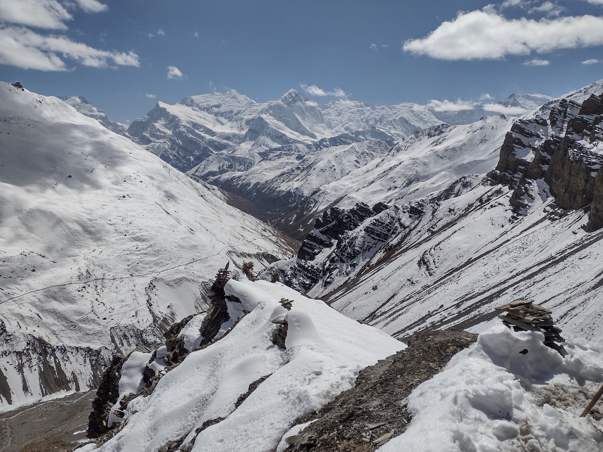
 But most of all, I was rewarded by Mother Nature ... Gaia ... Pachamama (whatever you choose to call her) with amazing views and breath-taking experiences of some of her most treasured jewels as the snow-crowned peaks of some of the world’s highest mountains revealed themselves beneath magnificent cloudless blue skies.
 After the few days I spent in Kathmandu, where everything seemed like a hard sell or outright scam, Pokhara seemed much more relaxed and casual. The economy her is still very much geared around tourism, and there are still people trying to get you to spend your tourist dollars in their shops and restaurants, but seems a little less overt here.
 One evening, as I was mulling these decisions over egg curry in a local restaurant, a young woman with dreadlocks and a French accent asked if she could join me at the table. She sat and we began to talk.
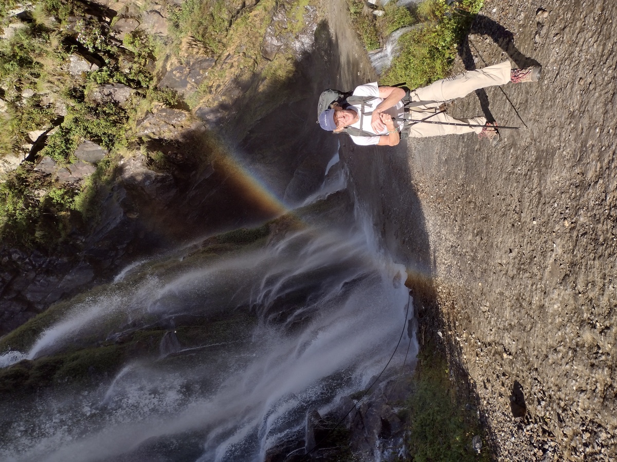 We had a bite to eat and then took a jeep ride further north to the town of Sangye, splitting the fare with a young German-French trekker named Nils, who we would encounter again in coming days, and a young German named Goku, whom we had met at the permit office the day prior. There was also a French trekker named Flor and her guide in the vehicle as we bounced our way north along the bumpy path up the mountain.
 I made my way westward along the side trail proceeding through Lower Karsang and Shree Kharka before the stretch through a landslide area a little before noon, after which, escalating winds make the hike more treacherous. In fact, a hiker died after being struck by a falling rock just a few days after my own passing on that stretch of the trail.
 Among the hikers that night were David and Avi; a young British medical student named Ella, who had presented the altitude sickness course in Manang; and a couple of fellow Americans, who hailed from Montana. There were also tons of Nepali tourists who were beginning their own Diwali / Tihar holidays.
 So I made my way slowly down a steep ice-covered descent where the sun rarely penetrated as I starting seeing my first glimpses of Nirvana. I eventually crossed the suspension bridge and plopped down with a sigh into a chair on the sunny patio as the owner worked to repair a water line problem. I waited patiently for him to offer me a room or food, but the offer never came. So I approached him and inquired about lodging. Turns out a large group of tourists had just stayed and cleaned the remote hotel out of their last bit of food. They unfortunately could not accept more guests until they replenished their supplies.
 The trekkers filtered in throughout the day – Ella, who had also endured the grueling Tilicho to Yak Kharka day; an Arizona hiker named Anissa who had hiked the circuit on two prior occasions; Hamish, a five-star restaurant chef from the UK; James and Dale of South Africa; Jim, a translator most recently living in Bali; and numerous others made their way into the common areas of the hotel and feasted on “hand-made” noodles that were actually boxed fettuccine smothered in tomato sauce and melty cheese or Nepal’s signature dhal bhat. We hiked to the top of the 4,900-meter viewpoint and looked out over the valley we had ascended from as we waited in a sort of dread anticipation of the cold night and early morning trek that awaited us.
 Basically everyone who was at High Camp the night before was there and we all congregated at the Bob Marley Hotel, where Ella and I had taken a room. Those who drank celebrated the triumph with beers while those of us who do not drink found comfort in organic Nepali coffee and the warm bonds of friendships forged by a common shared experience. Eventually, the revelry died down and we all retired for the night at what could be considered a quite tame hour.
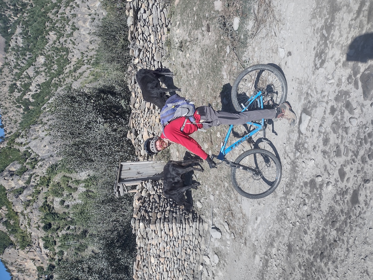 So we traded our heavy trekking packs for Trek bicycles and day packs provided by Mustang Outback Adventures and started the next leg of our adventure. The first few kilometers fell away like the breeze as we cruised down the well-paved road between Muktinath and Kagbeni, where we took a detour to the north to see a town called Tiri in the Lower Mustang Valley. It is the closest point trekkers can come to the restricted Mustang region without obtaining a costly permit.
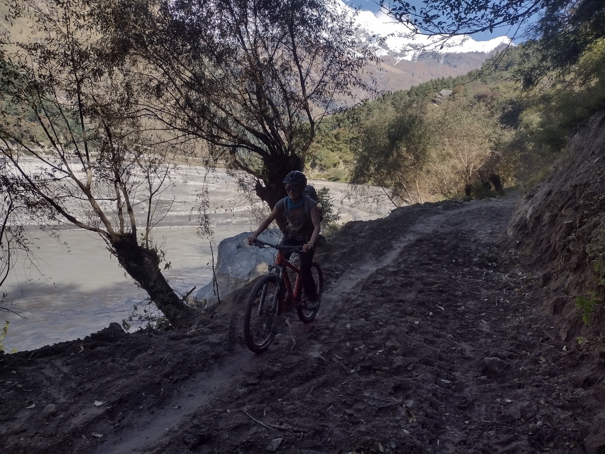 The ride was all downhill that day, but the road was rough and rocky. It was a true mountain bike experience in all regards – not the singe track riding I had tried when I first learned to ride a bicycle at age 41, but a wide mountain road with lots of bumps, mud puddles and the occasional waterfall crossing. There were also some nice paved sections that gave us the opportunity to rest our bums, which were taking a beating on the hard bicycle seats.
 It turns out he had met Ella briefly at a hostel in Kathmandu. The three of us planned to hike over the next couple of days to Poon Hill, which offers amazing sunrise views of Annapurna I, Annapurna South, Dhaulagiri and the sacred peak Machupucchre.
 he following morning, Ella, Benjamin and I set out, running again across David and Avi on the way out of town. The day proved to be a steep climb of about 1,300 meters up to the town of Ghorepani, which is just a few kilometers below Poon Hill. We made the climb, stopping for a lunch of noodles with David and Avi at a small mountain site along the trek and tea and coffee at another spot with a beautiful sunny view just before the final push into Ghorepani.
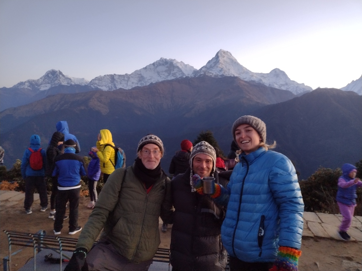
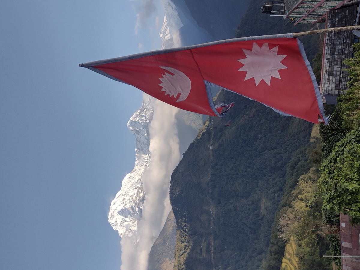 We had a quiet breakfast in the garden and took photos with the Nepali flag from the rooftop before beginning our final day of hiking. We debated whether to take the full up-and-down 16-kilometer trek through Landruk and the Australian Camp that marks the mapped final leg of the Annapurna Circuit but decidedly ultimately to head south and catch a local bus bak to Pokhara.